
Best of Victoria in 1000km
/This is a guest post by Bec Caskey. Many thanks to Bec for sharing this ride. To submit a new ride guide, go to the submissions portal.

Length: 962km
Difficulty: hard
Terrain: mountainous to flat
Surface: sealed roads, gravel roads, rail trail. Recommended gravel/touring tyre 32mm or wider.
What: a showcase of the best of Victoria
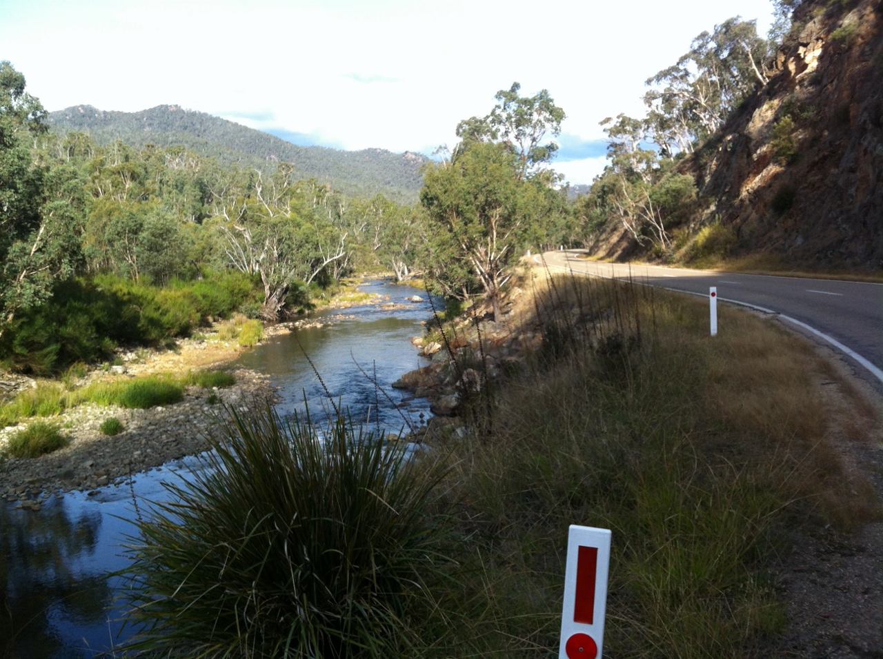
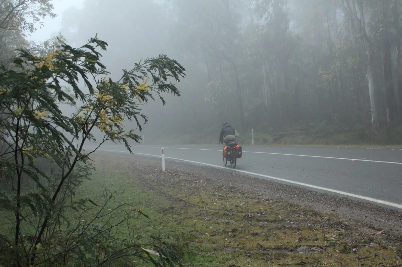
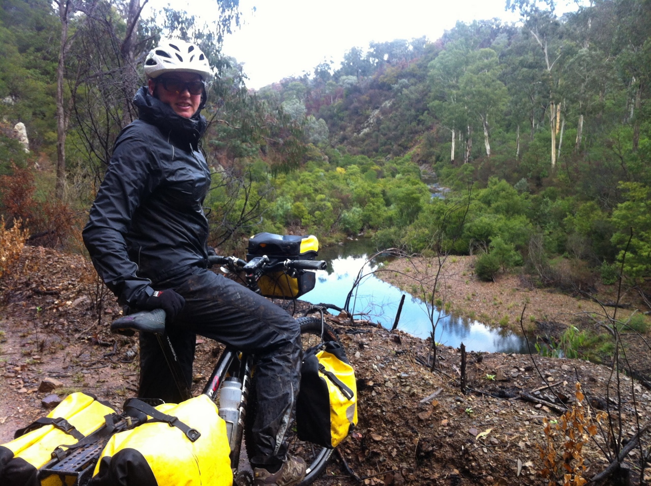
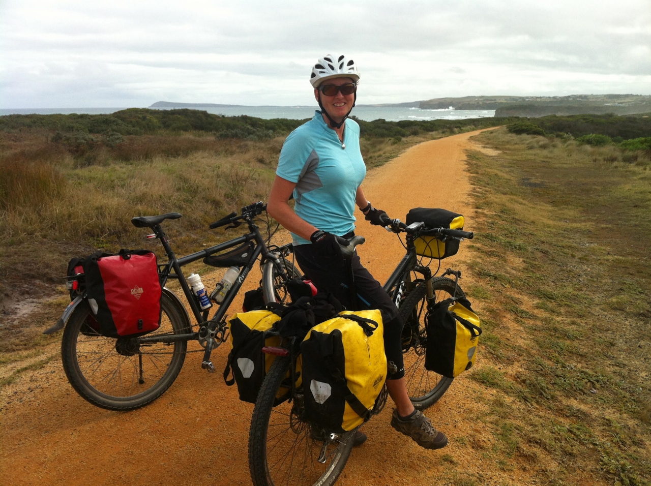
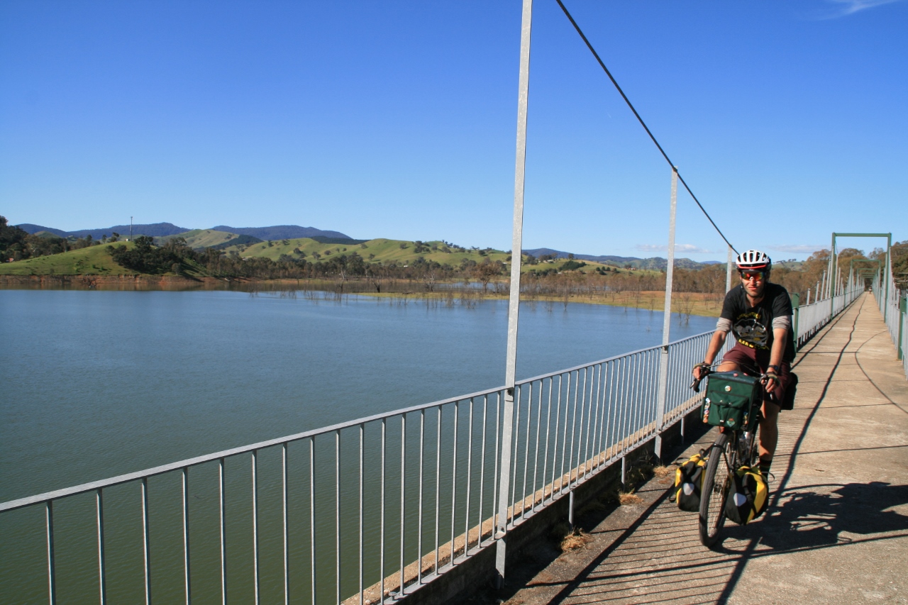
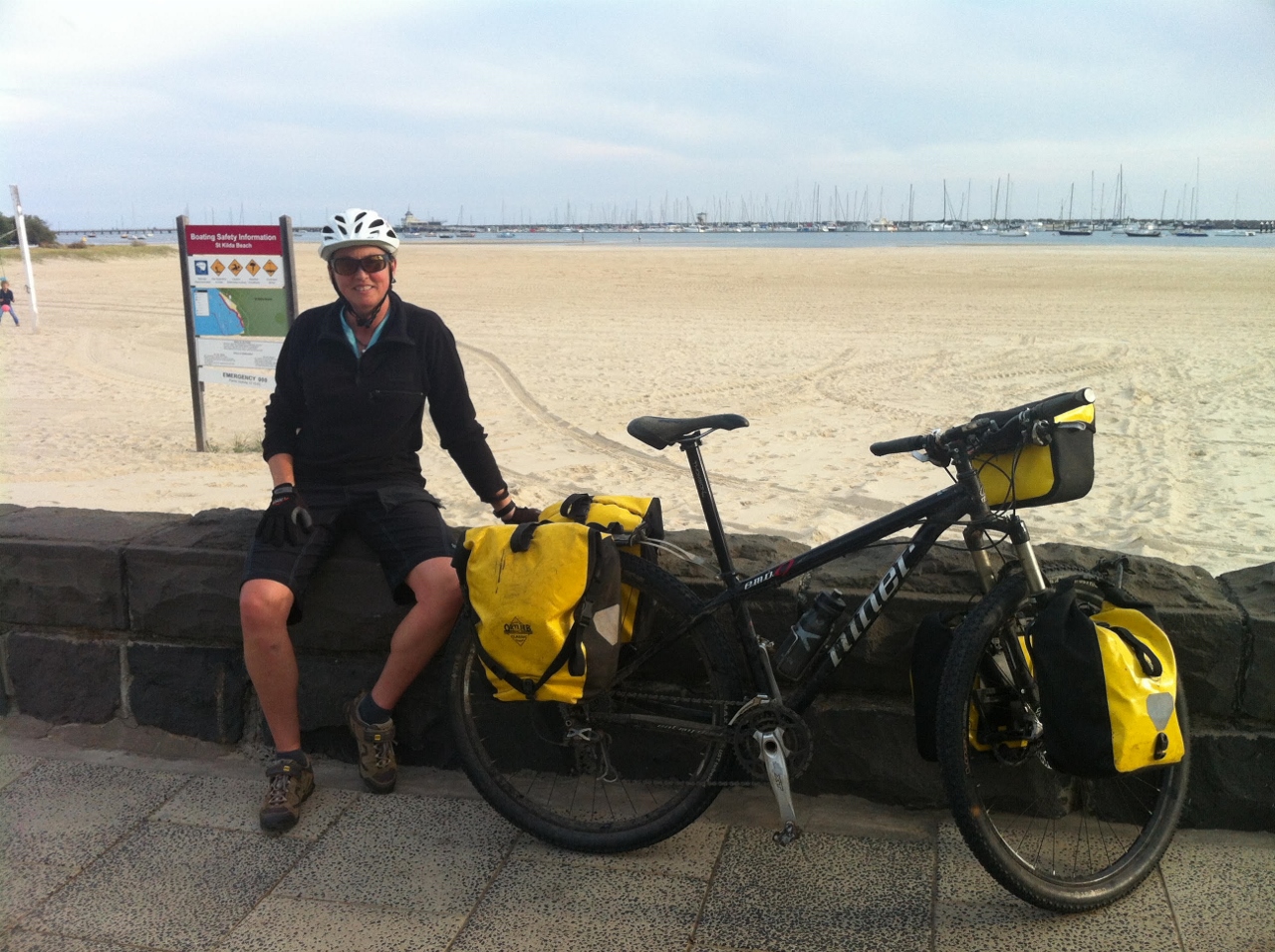
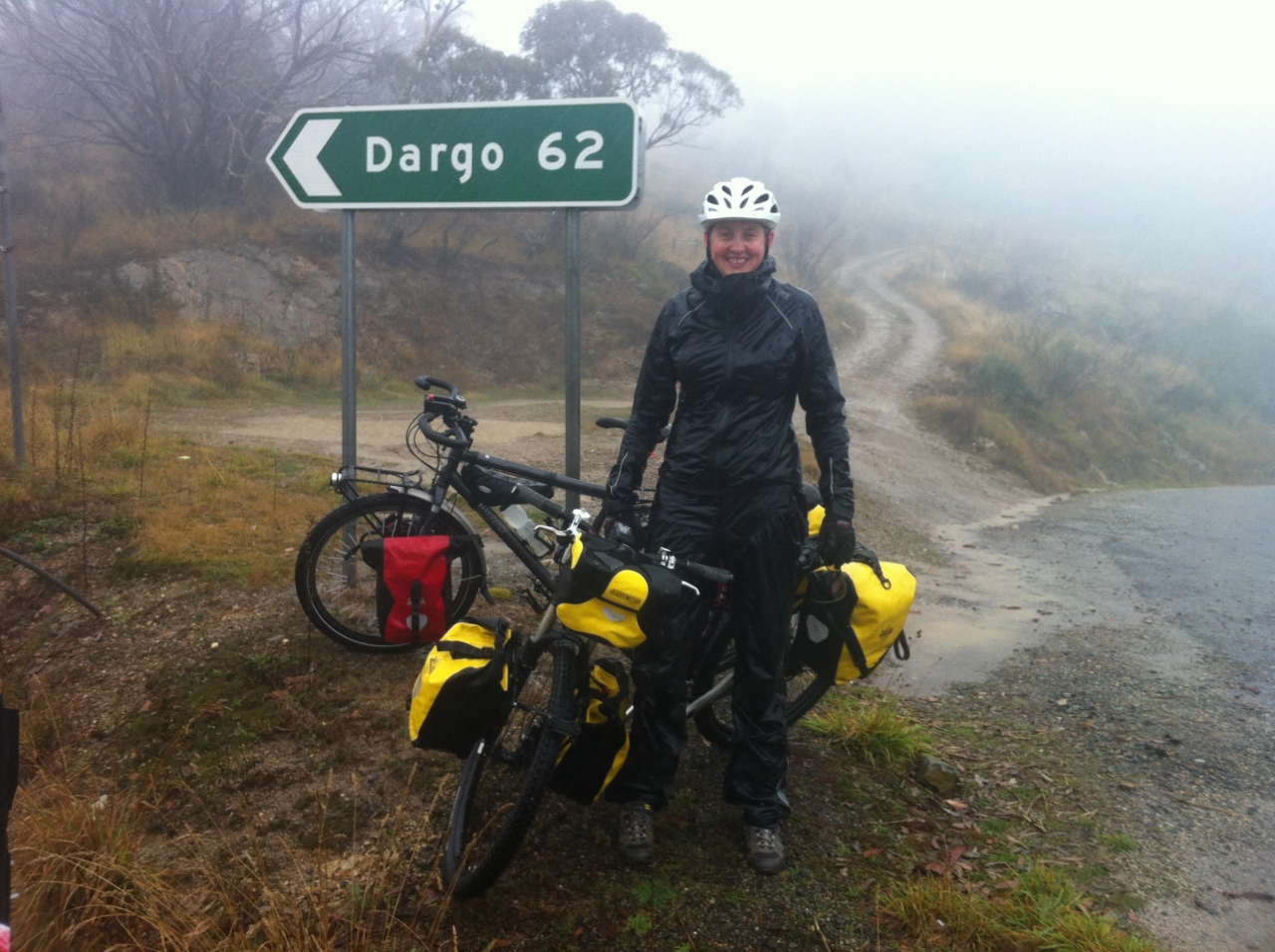
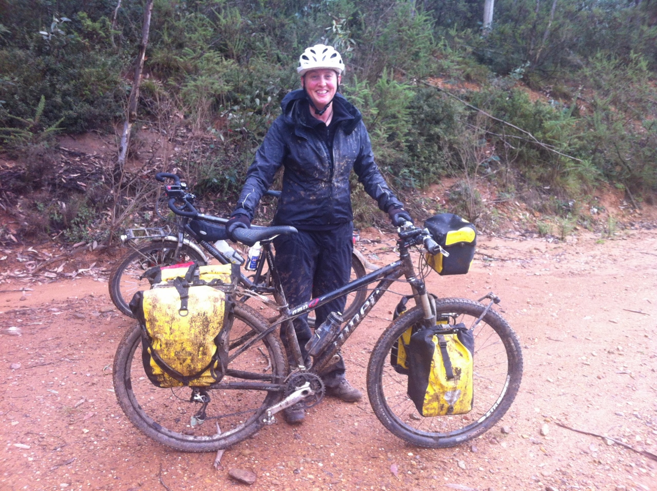
GALLERY
SUMMARY
We host many international cycle tourists from the warmshowers.org network and wanted to come up with an itinerary to showcase Victoria, taking in as many rail trails and quiet country roads as possible in around 1000km. This trip was ridden in April 2015 over a period of two weeks, and was designed to take in the Alpine areas of Victoria and loop back through Gippsland, across Phillip Island and home via the Mornington Peninsula and along Beach Road to St Kilda. In addition, if you had more time, you could catch the ferry across the Port Phillip Heads from Sorrento to Queenscliff and venture along the Great Ocean Road.
It’s a hilly route, but sectors can be broken down into smaller chunks if the hills are too daunting. We rode the route on 29er hard-tails with racks and full panniers, fitted with fast-rolling MTB tyres. In general, you would want a bike with trekking/gravel tyres, 32mm or wider. This is not a route you would take over the winter months, unless you are on a fat-bike and hankering for an adventure, as the high country is covered in snow and could be very icy.
The times quoted are actual ride times, which generally varied between 15 to 20kmph.
How to start
To avoid the busy roads of Melbourne, take the V-Line train from Southern Cross Station to Tallarook where the Great Victorian Rail Trail begins.
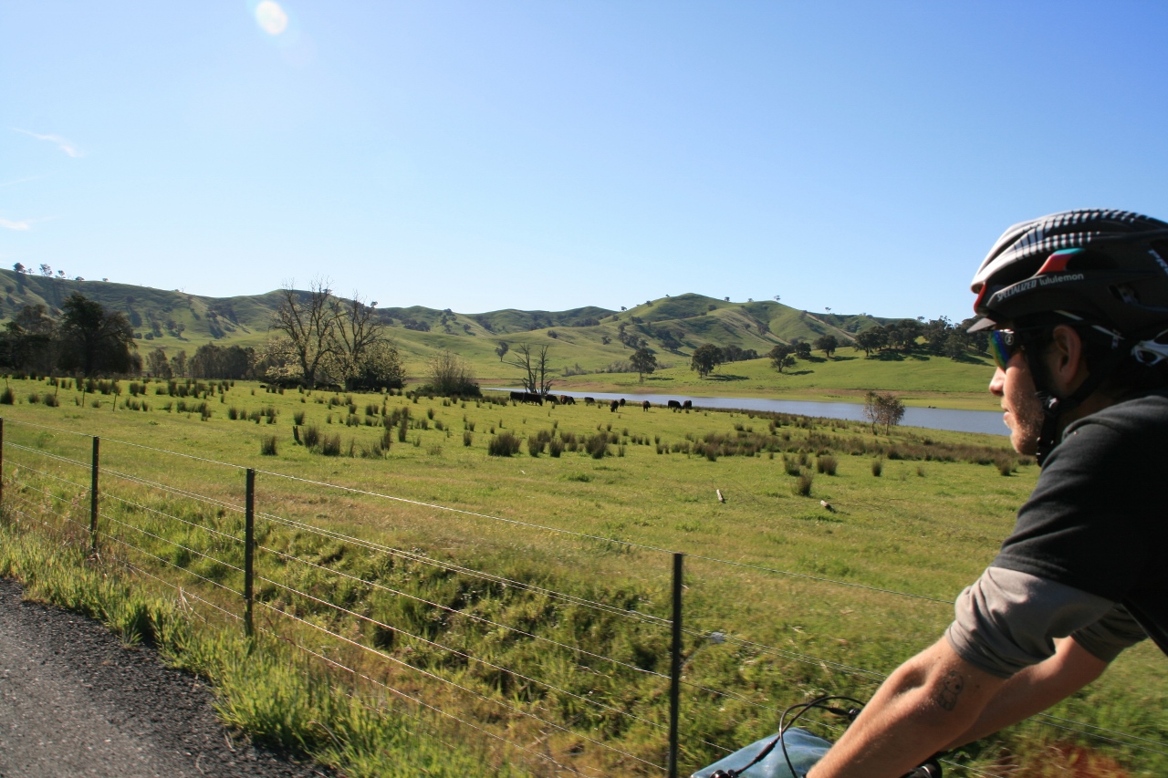
Day 1: Tallarook to Yarck (Great Victorian Rail Trail)
68km/Ride Time: 3.5hrs
The journey begins on the Great Victorian Rail Trail, a quiet gravel trail with a mostly solid surface, easy gradients and interesting stop offs. It can be a bit dusty and slick skinny tyres may struggle with the loose surface. Towns along the way are not that well signposted so when looking for them pay attention to the track. There are good toilet stops along the route, however the water here is sign posted as not drinkable. This shouldn’t be seen as a problem as there are plenty of towns along the way.
Yea is a major town with accommodation options if required, and Molesworth has a camping ground. Camping is apparently allowed at the reserve at Yarck, and the town has a great café and pub.
Day 2: Yarck to Mansfield (Great Victorian Rail Trail)
56km/Ride Time: 3hrs
Similar riding to day one along the Great Victorian Rail Trail. Mansfield has numerous accommodation options and with many sights and side trips it’s worthy of a rest day. The tourist information centre is at the end of the trail. The rail trail has lots of signboards and information along the way explaining the history in the area. Mansfield also has a good bike shop.
Day 3: Mansfield to Whitfield (Mansfield-Whitfield Road)
58km/Ride Time: 3.5 hrs
Get ready, as this is where the hills begin. The Mansfield to Whitfield road climbs up to Tolmie then down into Whitfield. Tolmie has a pub but check for opening hours. The day I rode through I ended up with the Tolmie Ladies Lunch Group, which was great fun and had me entertained for nearly 3 hours. Then the fantastic quiet road, which leads down to Whitfield, is worth the slog up as it descends gradually into the town.
The Gentle Annie caravan park is a beautiful, scenic spot on a river and there is a short ride back into town for amazing food at the ‘gastronomique’ pub of the Mountain View Hotel, not to mention the wineries and cafes in the King Valley. The café can arrange a roll or sandwich, as the stops along the next day’s ride are limited.

Half of your donation goes directly to contributors for creating new ride guides just like this one (read more about how this works). The other half covers the costs of running the website, and what’s left is my wage for the work I put into it.
Note: the software I use to process donations insists on collecting email and postal addresses, and I can’t turn that off! I’m not interested in your personal information, so if you would rather keep that to yourself, just enter fake details.
Day 4: Whitfield to Bright (Rose River Road, Murray to Mountains Rail Trail)
101km/Ride Time 5.5hrs
To get to Bright from Mansfield, this route basically crosses two valleys. You will end up in the Ovens Valley at Myrtleford where you join the Murray to Mountains Rail Trail for the run into Bright.
From Whitfield, ride towards Cheshunt and keep following the road, which will turn into the Rose River Road. It’s a good dirt road, easily passable to two wheel drive cars and did not have many steeper sections. The most climbing was when riding up onto Wobonga Plateau from Cheshunt, where the highest gradient was 9% but only for about 100m, with the dirt section going for about 44km. My Garmin told me it was 610m of climbing in total. The route takes you past Lake Buffalo. It’s lovely and quiet and very scenic and at one stage felt quite remote but you always know civilisation is not far away.
Bright is a tourist town with accommodation covering the full range from camping to luxury and many activities to occupy a few rest days. There is the sensational Bright Brewery in town, and activities such as MTB riding, paragliding and walking. Also there is an excellent bike shop in the form of Cyclepath.
Day 5: Bright to Mt Beauty (Tawonga Gap)
31km/Ride Time: 2 hrs
This day is a shorter one, and the last of the valley hops that gets you into the Kiewa Valley. It’s a solid climb up to Tawonga Gap (with some decent pinches) with the views of Victoria’s highest hill, Mount Bogong, at the top, followed by a worthy run down into Mount Beauty.
The road is a local favourite for road riders so often you’re not on your own. The climb will have you ascending around 540m. Mount Beauty also has a full range of accommodation options and activities like those at Bright, plus a great bakery, which is a hub in itself. There are options to join this leg with a half of the next days section and stop at Falls Creek.
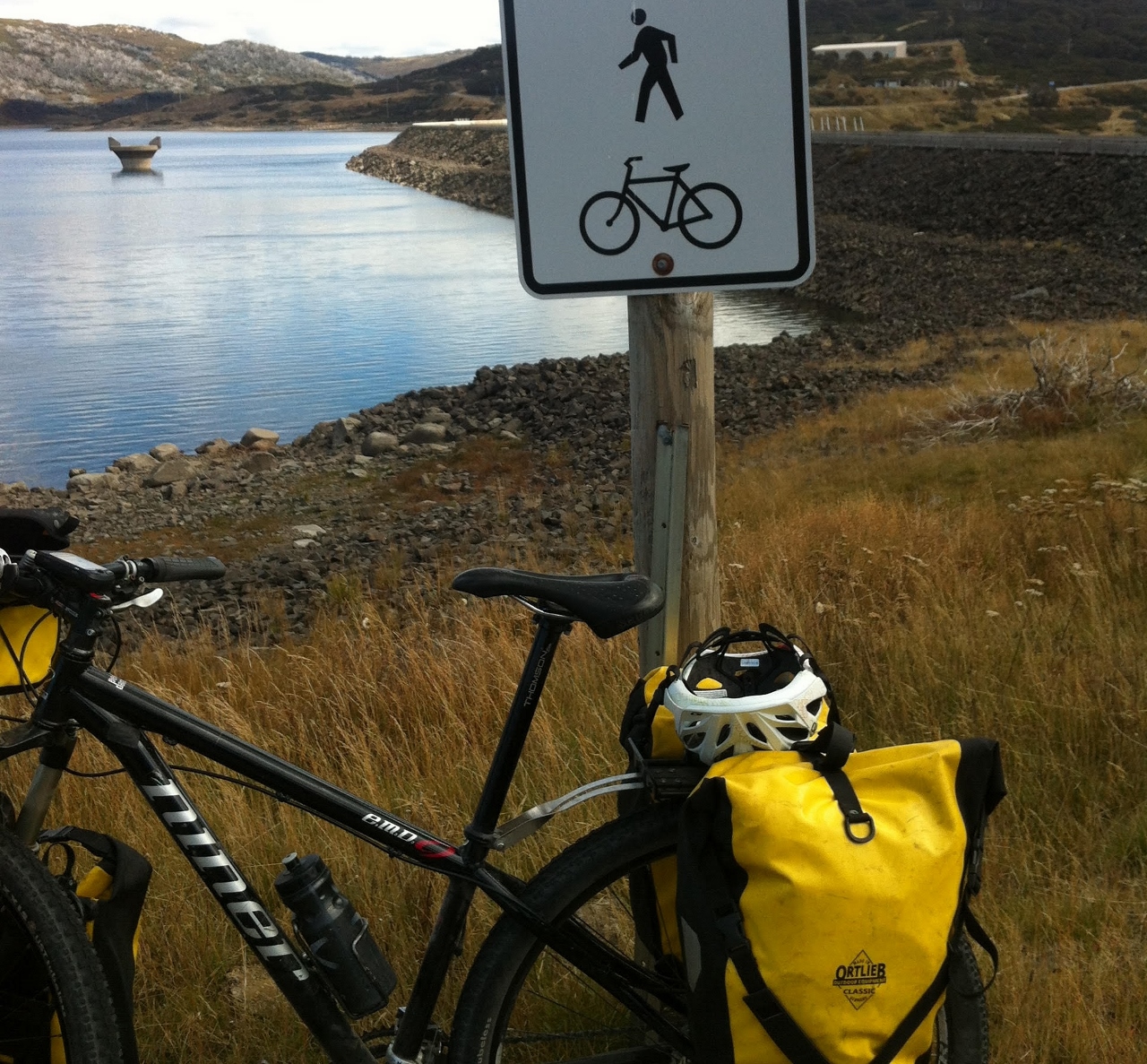
Day 6: Mt Beauty to Anglers Rest (Bogong High Plains Road)
78km/Ride Time: 5.5hrs
This is a big day and you earn a beer at the Blue Duck Hotel by the end of it. The first 30km to Falls Creek is solid climbing, before you hit rolling undulations for next section across the Bogong High Plains. Once at the Cope Track turn off, it generally goes down hill, but there are still a few little rises that were getting painful by the end of the day.
If doing it all in one hit is too much you could stay at Alpha Lodge at Falls Creek or camp at Langfords Gap, however for the latter you need to be fully self sufficient. It’s a great ride though, very pretty and coming down to Anglers Rest along the river is one of the most beautiful roads. Although the total ascent for day is 1742m, you literally get to ride across the top of Victoria and the views are amazing.
Accommodation options are camping at the Anglers Rest campground or staying at the Blue Duck Hotel where the pub is excellent for dinner. There are limited options for breakfast the next day until at Omeo (see next section), and no showers at the campground, but you are right near the river. Be warned, during spring, the river’s cold; we are talking snow run off.
Day 7: Anglers Rest to Dinner Plain (Great Alpine Road)
71km/Ride Time: 5 hrs
This is another hard day but the last of them, as from here the route leaves the high country and heads into the lowlands. The first 30km to Omeo is beautiful, with quiet winding roads and amazing gradient that would be a pleasure to ride up or down. At Omeo, there is a bakery, supermarket and pub. Stock up here before the last big push up to Dinner Plain as there is nothing in between. The climb to Dinner Plain feels mostly uphill for 43km, but is not particularly steep.
It’s another very scenic ride mixing open farmland, lower altitude bush and finally snow gums. The ascent for the day is 1643m.
Accommodation in Dinner Plain is mostly short-term holiday houses or some commercial venues, but there is a camping ground at JB Plain just out of Dinner Plain. The pub is normally open all year round and does good meals, but be self-sufficient as supplies can be limited in summer (winter is the main busy period). Dinner Plain is developing as a summer venue with activities such as MTB riding, walking and Frisbee golf. See Dinner Plain Accommodation for details and ask for the latest details on what is open during summer.
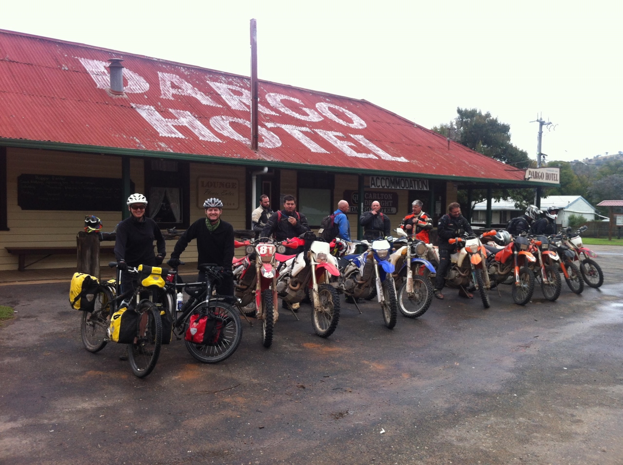
Day 8: Dinner Plain to Dargo (Dargo High Plains Road)
91km/Ride Time: 5.5hrs
From Dinner Plain, the main road undulates a further 12km before reaching the ski resort of Mt Hotham. Although generally a winter resort, keep your eyes peeled for some facilities like the Mt Hotham General Store (opposite the police station), which remains open all year round.
After about 1.5hrs of riding from Dinner Plain look for the turn off to Dargo, which is well signposted and soon turns to dirt once leaving the Great Alpine Road. There are still some hills despite being a mainly downhill run, as the Garmin claimed 595m of climbing. However, once again you are cycling across the top of Victoria and the views are well worth it. In wet weather the road can get muddy, but the Dargo High Plains Road is a good dirt road, passable to two wheel drive cars.
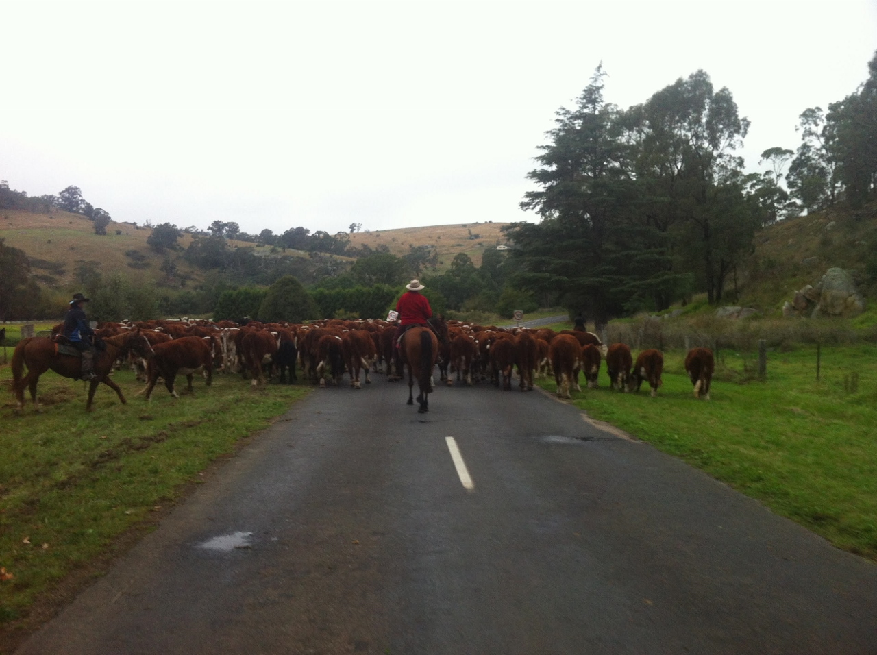
If you’re looking for a high country cattleman’s experience, then this is where you’ll find it, as Dargo is that kind of town. A herd of cattle were being driven down the main drag, on their pre winter muster from the high country and before the snow covers the hills. It came complete with cattlemen on horseback, whip cracks and cattle dogs rounding up the herd. You really do feel like you’ve just come out of the hills… have fun dodging the cowpats!
Accommodation options in Dargo are the motel, hotel cabins or camping at the rear of the pub, which has great food and atmosphere. The pub can do breakfast in the morning as well and the General Store over the road can organise a salad roll for the road.
Day 9: Dargo to Briagalong (Freestone Creek Road)
73km/Ride Time: 4.5hrs
This was another standout day on mainly dirt road called Freestone Creek Track. There was some climbing on rolling bitumen from Dargo to the turn off which was about 30km out of town. Then once onto the dirt, there was a short climb then mostly downhill contouring a river. It was a fantastic road. There are many camping spots along the river but you would need to be self-sufficient. The road was so good that I didn’t feel as though I had climbed 939m, which Garmin claimed. There were so many magnificent views from along a road that had been cut into the side of the river valley, it was a hidden gem. Accommodation options are limited in Briagalong but there are cabins, a cottage rental and as mentioned camping not far away. If all else fails you could continue to the town of Stratford is 15km away.
Day 10: Briagalong to Traralgon (Gippsland Plains Rail Trail)
78km/Ride Time: 4 hrs
After the big climbs of the last few days this is a breeze mostly on the Gippsland Plains Rail Trail, which you join at Maffra, where lunch supplies can be picked up on the way through. It’s a nice ride on a good gravel trail, with a great pies worth stopping for at Glengary. Accommodation options range from motel to camping with good supplies in town.
Day 11: Traralgon to Meeniyan (Grand Ridge Rail Trail)
81km/Ride Time: 4.5hrs
From Traralgon head via Churchill to Boolarra, where the Grand Ridge Rail Trail begins. The road to Boolarra is on single lane, country road and if you avoid the ‘going to work’ traffic it is generally quiet with some shoulder on offer.
Once on the rail trail it was again very scenic, and an easy grade, culminating with the Grand Ridge Brewery in Mirboo North (a good excuse for a beer). Note though; if you want to eat there, don't arrive until midweek as the restaurant is closed until then. There are bakery and café options in town however.
On leaving Mirboo North and heading to Meeniyan, shortly after leaving town I took a right-hander at Findlay Rd (Old Mardan Road), which contoured rather than followed down into the creek and up the other side, which is what the main road did. It was a punt and ended up being a really nice road, which avoided some pointless up and downs. I followed country lanes through farmland, to the hamlet of Mardan, before heading out on Dumbalk Rd, which again was a really nice detour off the main road. Then just before getting into Meeniyan the Dumbalk Road crosses the Great Southern Rail Trail to town.
Accommodation options at Meeniyan range from Motel to boutique accommodation. There is a public reserve but no formal campground. Meals are good at the pub (which astoundingly enough had a 1000g steak! – who can eat that much meat?) and if you’re toward the latter end of the week a good restaurant option at Moos. The next morning you can get breakfast at the café in town.
Day 12: Meeniyan to Cowes (Great Southern Rail Trail, Bass Coast Rail Trail)
90km/Ride Time: 4.5hrs
The route from Meeniyan to Koonwarra can be ridden on the Great Southern Rail Trail however check for the level of construction, as it appears to be a work in progress. Head towards the Bass Highway along the Koonwarra-Inverloch road but once at the T junction head north and then take Wares Road heading west and wind along the back roads to Wonthaggi. These were dirt roads, very quiet and all good riding.
Once at Wonthaggi (good lunch options) jump on the Bass Coast Rail Trail to Anderson which is a really nice ride along rugged coastal beaches, again a dirt track but a good surface. Once at Anderson the road to Cowes on Phillip Island has a good shoulder along it, or there is bike track if you don't like the look of the road. There is the Rusty Water Brewery along way, 6km from Cowes, which has great beer for the end of a big day. Cowes has numerous accommodation options and there are a number of camping grounds on the island.
Day 13: Cowes to Mornington
31km Ride Time: 1.5hrs
Taking the ferry from Cowes Jetty to Stony Point is easy, it leaves 3 times a day, takes 45 minutes and goes via French Island, which itself would be a good side trip if you had some more time, as it is a national park and has no motor vehicles. The roads from Stony Point to Hastings. From just south of Hastings there is the Western Port Bay Trail bike track to Tyabb. The roads from Tyabb to Mornington have no shoulder and can be higher speed and busy, therefore in hindsight a better route may be turning off at Graydens Road taking more minor roads to Mornington.
Day 14: Mornington to St Kilda (Beach Road, Bay Trail)
53km Ride Time: 2.5hrs
From Mornington it is the classic Beach Road run back to St Kilda, basically heading north along the bay first on Nepean Highway which has a good shoulder most of the way, then on Beach Road once at Mordialloc. If on the weekend you will be riding with thousands of other bikes, but you may be the only one carrying gear. Finish at St Kilda Beach with an ice-cream.
OTHER RIDES LIKE THIS ONE


Disclaimer: should you choose to cycle this route, you do so at your own risk. Although all reasonable efforts have been made to ensure its accuracy at the time of writing, Adventure Cycling Victoria cannot guarantee that the information herein is 100% correct. The information published is meant as a guide only, and should be combined with your own due diligence and planning. Adventure Cycling Victoria and its contributors are in no way liable for personal injury, damage to personal property, or any other such situation that might happen to individuals following this route.

Where: Grampians/Gariwerd—Western Victoria
Length: 155km
Difficulty: moderate/hard
Terrain: mixture of hills and flat
Surface: sealed, some chunky gravel and some smooth gravel