Bendigo Graveleur
/Where: central Victoria—Bendigo, Heathcote, Redesdale, Axedale, Harcourt, Metcalfe
Length: 164km
Difficulty: moderate
Terrain: flat/undulating, with a couple of moderate climbs
Surface: gravel of varying quality, some rocky sections, some singletrack, some sealed road. Recommended gravel-type bike with 35mm or wider tyres.
What: quiet back roads, rural scenery, native bushland, rail trail, brewery, winery, historical buildings, waterfalls
THE RIDE
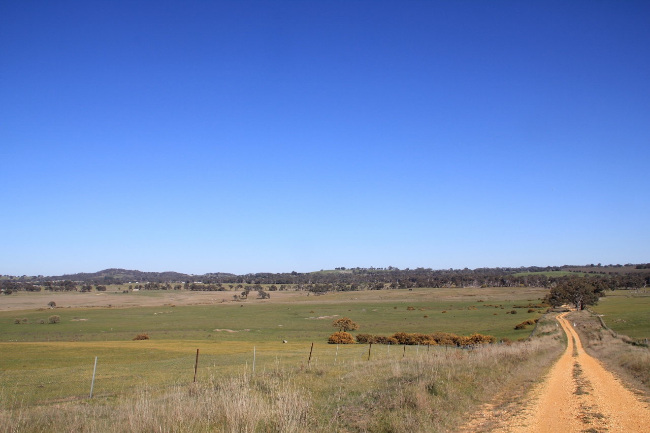
Bendigo Graveleur is a highly congenial ramble through the countryside of central Victoria, taking in a variety of scenery and surface types. You’ll traverse quiet gravel roads, rail trail, some sealed roads and the occasional steep and rocky track. You’ll see picturesque rural countryside, native bushland, historic townships, a waterfall and swimming holes. There’s enough variety and challenge to keep it interesting, but there isn’t anything crazy hard either. It includes a section of the Goldfields Track, as well as the O’Keefe Rail Trail.
You can do this loop in either direction, but I’ll describe it going counter-clockwise, which is the way I did it.
Starting at Bendigo train station, follow the Goldfields Track out of town. It’s reasonably well signposted, and includes some rocky sections of singletrack. You will soon make it to the Coliban water channel. The Goldfields Track more-or-less follows this channel for about 20km. It’s mostly flat, and lovely riding, but there are a couple of short, steep and rocky hills that might require some hike-a-bike.
Leave the channel by turning right at Harcourt-Sutton Grange Road (sealed), following the Goldfields Track signage. After a short climb, turn left onto Joseph Young Drive—this is where you leave the Goldfields Track. Begin the climb over Mount Alexander, a moderate climb on a sealed road. On Mount Alexander there’s a good lookout to the left past the radio towers. A little further on are some large granite boulders (Dog Rocks) and beyond that a free campground (Leanganook Picnic Area).
At the end of Joseph Young Drive, take a left and then an immediate right to get onto Mckittericks Road. There’s a very minor creek crossing on this road, which is usually very tame, but may be hazardous during/after heavy rain. After a few kilometres, turn left onto Dainty’s Lane. This will take you towards Metcalfe.
There’s a very small and old public toilet at Metcalfe. I filled up with water there and it was OK to drink for me. Also, just upstream on the Coliban River are some rapids known as the Cascades. I didn’t get a chance to have a look at them but send me some pictures if you do, and I can post them.
Follow the signs to Turpins Falls. You can follow the main road all the way there, or you can divert up Goldfields Road to the left, then take Ridge Track to the right at the top of the climb, which will eventually take you back to the main road. It’s a fun little gravel diversion.
Turpins Falls is a really lovely spot to have a rest and a swim. After Turpins falls, continue north towards Redesdale. After five km or so you will come to a major road (Heathcote Kyneton Road) which takes you directly to Redesdale. There are gravel road alternatives to the west of Heathcote Kyneton Road, which I didn’t have time to do—again, if you find a good alternate to the main road, get in touch.
After Redesdale, follow Heathcote-Redesdale Road towards Heathcote, then turn right at Mia Mia onto Burke and Wills Track, which is sealed. After a couple of km, turn left onto Mcdonalds Lane, and make your way over to Heathcote on a series of gravel roads.
Heathcote is a fairly large town with all amenities, including a winery and a brewery. At Heathcote you will join the O’Keefe Rail Trail, which takes you all the way back to Bendigo. For the most part it’s pretty flat and straight, so settle into a rhythm and tap out those miles. You will pass Lake Eppalock on this trail. You might also see one of these guys:
Half of your donation goes directly to contributors for creating new ride guides just like this one (read more about how this works). The other half covers the costs of running the website, and what’s left is my wage for the work I put into it.
Note: the software I use to process donations insists on collecting email and postal addresses, and I can’t turn that off! I’m not interested in your personal information, so if you would rather keep that to yourself, just enter fake details.
ATTRACTIONS
Mount Alexander lookout—great views to the north-east
Dog Rocks—large granite boulders on Mount Alexander
Turpins Falls—a lovely spot to chill out and have a swim
Redesdale Hotel—a historic 1850’s bluestone building. Offers food, drinks, accommodation.
Palling Bros Brewery, Heathcote
Heathcote Wine Hub—the largest selection of Heathcote wines under one roof
Wineries—Heathcote region is renowned for its Shiraz, and there are dozens of wineries in the area, many of which have cellar doors.
Bendigo town centre—many historic, gold rush-era buildings.
ACCOMMODATION/CAMPING
There are quite a few accommodation options on this route, either in the towns or country cottage style places. Too many to list here—do your own research.
Leanganook Picnic Area, Mount Alexander—small free camping area. Toilets and (reportedly) a rainwater tank. Seek local advice as to the availability of water there.
Mandurang South Campsite—bush camping. Rainwater tank 250 metres north-east of campsite.
You could potentially pitch a tent somewhere along Ridge Track in the Metcalfe Nature Conservation Reserve. Would be a pretty small area. No facilities.
Remember, when camping, don’t be an idiot! Respect public land and leave no trace.
WHEN
You could do this ride at any time of year. But be prepared for frosty mornings in winter and extreme heat in summer.
GETTING THERE
V-line trains go to and from Bendigo roughly hourly. Read more about travelling with your bike here.
MAPS
Download GPX file for this ride
O’Keefe Rail Trail (free)
The Goldfields Track Walking and Cycling Guide covers the first section of the ride. Would be a good purchase if you plan to do the Goldfields Track in future.
Various maps (free)—Bendigo, Heathcote, food and wine in the region.
This is a reader supported publication. If you found this information helpful, you can support this website by becoming a patron and making a small monthly donation. You’ll get a name credit on the site (see bottom of page), as well as other rewards. You’ll also be supporting adventure cycling in Victoria, and helping more people get out on their bikes.


Where: East Gippsland, Tambo River Valley, High Country, Mitta Valley, Lake Hume, Bairnsdale, Omeo, Albury-Wodonga
Length: 345 km
Difficulty: moderate/hard
Terrain: varied – flat, rolling hills, gradual inclines/descents, short and long climbs/descents. Some steep climbing on sealed roads.
Surface: mostly sealed, with some well groomed gravel, and rail trails to start and finish. Any gravel bike would suit.
What: rail trails, rolling green hills, long river valley roads, alpine climbs, open grazing cattle country, lakeside riding. Picturesque views for days.